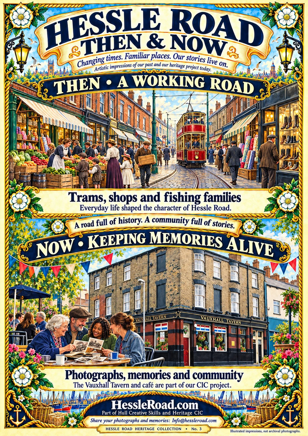
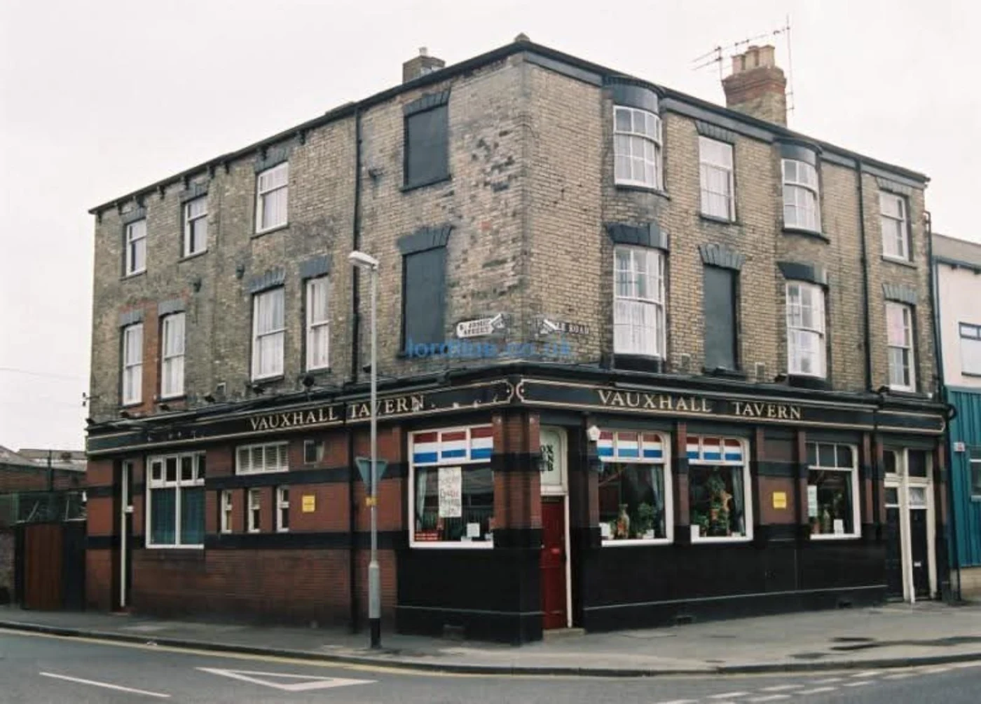
Heritage illustration — an artistic interpretation, not a documentary photograph of the places below.
Help bring a lost place back into view.
A street number, a family photograph or a remembered shop name can be the start of a new archive entry.
01
St Barnabas Church
A landmark remembered through maps. Hull City Council’s 2025 appraisal identifies St Barnabas Church on an 1890 map and notes that St Barnabas Court replaced it.
What would help tell its story?
Exterior photographs, memories of services and family documents that identify dates. We are looking for evidence before adding a detailed chronology.
02
The former cricket ground
The same 1890 map records a former cricket ground in the Hessle Road area. It is a reminder of how much an old map can reveal about places we no longer see.
Could your family have a clue?
Look for club names, programmes, photographs or a marked map. Please tell us where your information comes from.
03
363–375 Hessle Road
The Council appraisal records the demolition of these buildings and the creation of St Andrew’s Retail Park. The addresses give us a precise starting point for collecting the memories of what stood there.
Do you remember these addresses?
Share a shop name, the kind of business, who worked there or an old photograph. Approximate dates are welcome when clearly labelled.
Gone from the road. Not forgotten.
Send us the name, address, approximate date and your memory. If you have a photograph, tell us who took it and whether we may publish it.