LOST PLACES • LASTING MEMORIES

The Hessle Road
we’ve lost.

The streets may change.
The stories still belong to us.

Behind the flyovers, new buildings and familiar names are other versions of Hessle Road: front doors that opened onto terraces, shops that served a whole street, crossings and yards that shaped the working day.

Find a place. Follow a memory. ↓
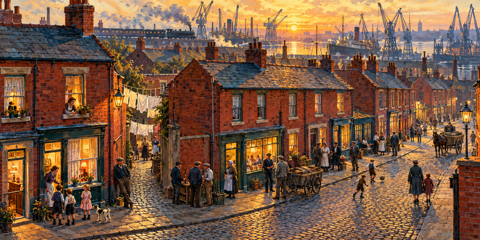
Imagined painting of a Hull fishing neighbourhood with red-brick terraces and shops, neighbours and dock cranes
New interpretive artwork · an imagined neighbourhood, not an exact reconstruction
SIX PLACES TO EXPLORESTREETS • HOMES • RAILWAYS • DOCKSYOUR MEMORIES CAN FILL THE GAPS

LOOK AGAIN AT THE ROAD YOU KNOW

Gone from view.
Not from memory.

Some buildings were demolished for roads. Other homes were cleared and replaced. Dock and railway land found new uses. These changes happened in different phases, for different reasons.

Hull City Council records housing clearance from the 1950s, especially south of Hessle Road, and the movement of many families to suburban council housing. Poor housing conditions were part of that history. Remembering the old neighbourhoods also means listening to people whose new homes brought improvements.

Hull City Council · Hessle Road character appraisal, printed p.7 ↗

AN OLD NAME IN THE RECORDS

“Dairycoates Estate” really does appear.

Hull History Centre’s catalogue lists a letter dated 27 April 1875 about a proposed drain under Railway Street, Dairycoates Estate: reference C BHN/5/19. That gives us a useful archival starting point for researching the estate name. It does not, on its own, establish its complete boundary or when individual houses were cleared.

Do you remember a particular Dairycoates estate, street or terrace? A family address will help us connect the name in the records with the place in your memory.

Hull History Centre · Newington Board of Health, C BHN/5/19, catalogue p.17 ↗

EXPLORE THE CHANGING NEIGHBOURHOOD

Six places.
So many lives.

Open each story for the evidence, what was lost, what remains and the memories we would love to preserve.

Imagined painting of a Hull neighbourhood with red-brick shops, narrow entries and distant dock cranes
Interpretive painting · not a dated photograph of this location

01 ROADS

The eastern end, before the A63

Vauxhall Tavern • St James Street • the approach towards Daltry Street

Change in stages · especially the 1970s

The lost setting around surviving landmarks at the city end of Hessle Road.

Open the story

The Vauxhall Tavern is a surviving marker of a much more closely built-up neighbourhood. The A63 scheme’s heritage assessment describes it and the Alexandra Hotel as corner pubs left within a landscape of widespread demolition. It dates the major change to their setting to construction of A63 Castle Street in the 1970s. Many older warehouses and industrial buildings disappeared, while parts of the historic street pattern remained. The gap between the Vauxhall and the busier shopping stretch tells a story of severed connections as well as cleared buildings.

What was lost
Much of the former built-up setting and continuity of the street.
What remains / what to check
The Vauxhall Tavern and other surviving landmarks; not every old street or building was removed.

A63 heritage assessment · Zone 4, printed p.45 ↗

Do you remember?

What do you remember between the Vauxhall Tavern and the start of the busy shopping stretch? A shop name, doorway, corner or photograph could reconnect this part of the road.

Share a memory of this place ↗
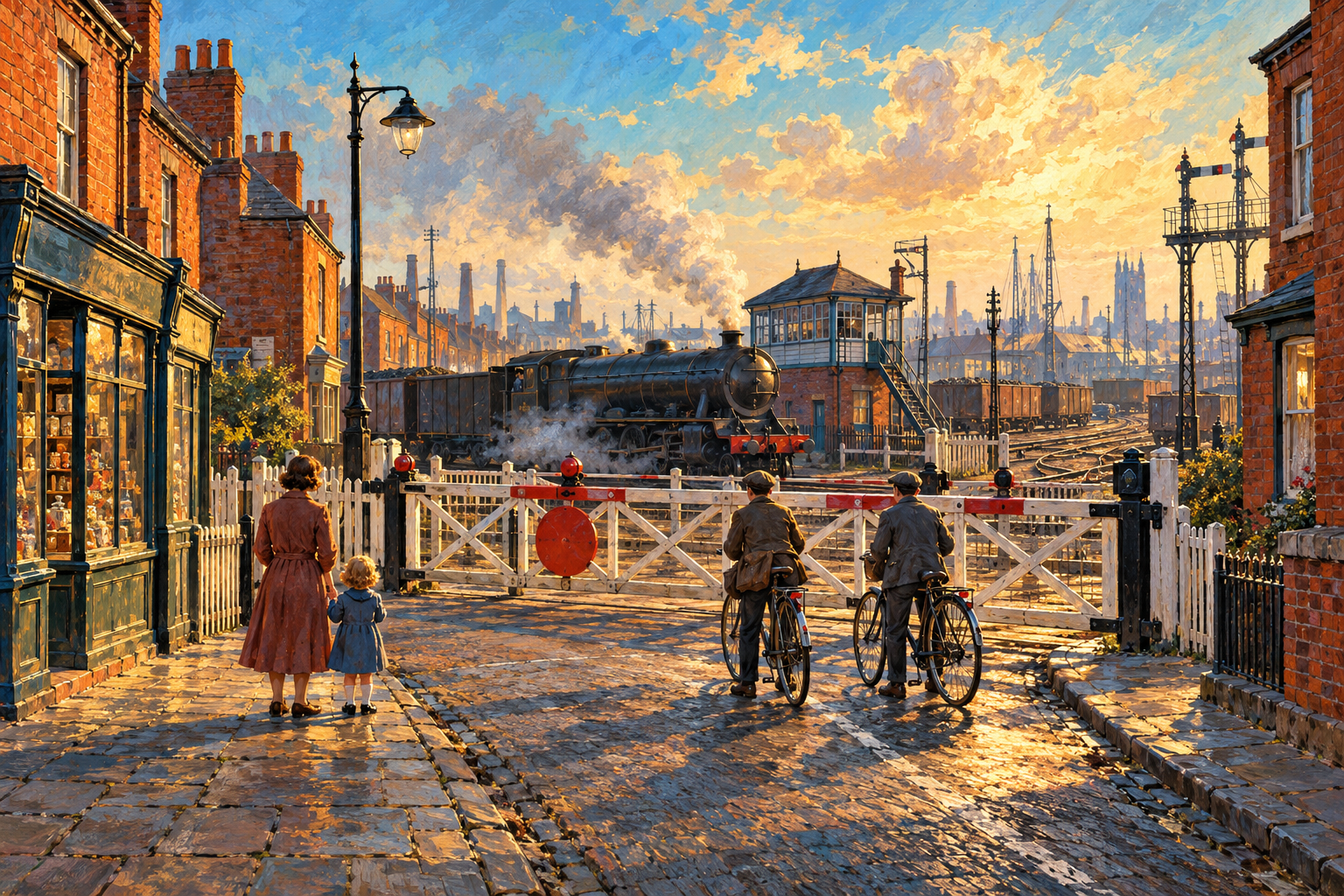
Imagined 1950s railway crossing in Hull with waiting pedestrians, red-brick shops and a steam locomotive
Interpretive painting · not a dated photograph of this location

02 ROADS

Old Dairycoates & the crossing

The old Hessle Road crossing • Carlton Street vicinity

The crossing was replaced in 1962

A vanished crossing and frontage within an area whose name is still very much alive.

Open the story

Dairycoates is a surviving district, not an estate that vanished in its entirety. Hull City Council’s development brief records the old level crossing being replaced by the Hessle Road flyover in 1962. Local historical research identifies the Locomotive Inn at 616 Hessle Road and records its demolition for that work. The crossing, the nearby railway-related premises and the old shop frontage belong to a landscape very different from the one seen today.

What was lost
The old level crossing and specific buildings around it, including the Locomotive Inn.
What remains / what to check
The Dairycoates place-name and the wider district. The extent and clearance dates of individual estate plots still need checking.

Hull City Council · Birds Eye Development Brief, p.6 ↗
Hull City History · Dairycoates and the Locomotive Inn ↗

Do you remember?

Did your family call it Dairycoates Estate? Tell us the street or terrace, an approximate date and where it stood. That will help identify exactly which part of old Dairycoates you mean.

Share a memory of this place ↗
Interpretive painting of small Hull terrace houses and everyday street life
Interpretive painting · not a dated photograph of this location

03 HOMES

Subway & Flinton: the cleared homes

South of Hessle Road

Housing gone by 1988

Doorsteps and households replaced by a different working world.

Open the story

Map comparisons show the area’s housing gone by 1988 and industrial units present by 1996. This is a housing-clearance story, not proof that both street names vanished.

What was lost
Former residential buildings.
What remains / what to check
Changed streets and workplaces.

Richard Clarke · A History of Hessle Common, printed pp.32–34 ↗

Do you remember?

Which terrace or court was your family in? A full address, even from an old envelope, may help us place a home that no longer appears on a modern map.

Share a memory of this place ↗
Imaginative illustration of closely built red-brick homes and neighbours
Interpretive painting · not a dated photograph of this location

04 HOMES

Rosamund’s former housing block

Redbourne Street to Division Road

Cleared by 1976

The people and homes behind a clearance boundary.

Open the story

By 1976 the dense housing on either side of Rosamund Street, between Redbourne Street and Division Road, had been demolished, with replacement homes planned.

What was lost
The old block.
What remains / what to check
Street names and newer housing.

Richard Clarke · A History of Hessle Common, printed pp.32–34 ↗

Do you remember?

Were you rehoused from this block? Tell us where you lived and what the move meant to your family. There may be several different experiences of the same clearance.

Share a memory of this place ↗
Interpretive painting evoking the railway landscape behind Hessle Road
Interpretive painting · not a dated photograph of this location

05 INDUSTRY

The former railway sidings

South of Hessle High Road

Mostly gone by 1974; gone by 1985

Remembering a landscape built around railway work.

Open the story

Within the area studied, most extensive sidings had been removed by 1974, and all by 1985. Other west Hull railway lines survived.

What was lost
The studied sidings system.
What remains / what to check
Other railway routes.

Richard Clarke · A History of Hessle Common, printed pp.32–34 ↗

Do you remember?

Did you work with the wagons, fish trains or railway yards? Your description of a job, a route or a building could help explain the landscape behind the houses.

Share a memory of this place ↗
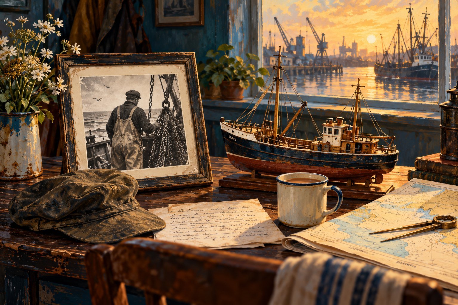
Interpretive maritime painting from the HessleRoad.com fishing-family collection
Interpretive painting · not a dated photograph of this location

06 INDUSTRY

St Andrew’s: the working fish dock

St Andrew’s Dock • the dockside world south of Hessle Road

Opened 1883 · closed to shipping 3 November 1975

The working dock has gone; parts of its physical story survive.

Open the story

Hull History Centre dates the opening of St Andrew’s Dock to 24 September 1883 and its closure to shipping to 3 November 1975, as the fishing industry transferred to Albert Dock. Infill and redevelopment followed. The Yorkshire Film Archive records a successful campaign to protect the lockpit vicinity as a conservation area in 1990. So this is a lost working world, not a claim that every trace of the dock has been erased.

What was lost
The former working fish-dock operation and much of its associated environment.
What remains / what to check
Surviving fabric and the protected lockpit vicinity.

Hull History Centre · History of Hull Docks ↗
Yorkshire Film Archive · Harrison Compilation, record 4071 ↗

Do you remember?

What was the dock like on a working morning? We would welcome photographs, memories of particular businesses and accounts of the move away from St Andrew’s.

Share a memory of this place ↗
An imagined railway crossing in the old Hull railway neighbourhood
Artist’s impression: railway life before the flyover. Not the verified layout of Dairycoates crossing.

PUTTING THE CHANGES IN ORDER

It didn’t all
happen at once.

  1. 1962Dairycoates crossing replaced by the flyover. Story 02
  2. 1970sA63 construction changes the inner-road setting. Story 01
  3. 1975St Andrew’s Dock closes to shipping. Story 06
  4. 1980sClive Sullivan Way and the Brighton Street link reshape traffic routes. Council source

The two flyover / road stories should not be folded into a single demolition date. Each place above has its own evidence.

WHAT THE EVIDENCE CAN — AND CAN’T — TELL US

Places change.
Names can stay.

A cleared house isn’t a vanished street.

A modern road can retain its old name after its houses have gone. We identify the particular block or use that disappeared, rather than declaring the entire street lost.

A place-name can cover more than one area.

“Dairycoates” and “Dairycoates Estate” need to be tied to an address, a map and a date. We have not assigned an unverified boundary to the old estate.

Memories need room for differences.

A move could mean losing neighbours and gaining a better home. Both belong in the record. We’ll distinguish personal recollections from checked dates and plans.

HELP PUT A HOME BACK ON THE MAP

Where did
your story begin?

A photograph. An envelope with an old address. A memory of the corner shop. Small details can help us reconnect a place that is hard to see today.

  • The street, terrace or court name — and house number if known.
  • An approximate year or the dates your family lived there.
  • Who or what is shown in the photograph.
  • Who owns it, how to credit it and whether we may publish it.
Share with info@hessleroad.com ↗Opens your email app. Nothing is published automatically. Please keep your original photograph or document.

FOLLOW THE EVIDENCE

Sources & further reading.

This is a first researched collection, checked on 24 October 2026. Map-comparison dates such as “by 1988” are a latest confirmed point, not an exact demolition day. More places and memories will be added as the archive grows.

About the illustrations

Two new AI-created paintings evoke street life and railway life. Neither is an archival photograph, a verified map, a specific surviving pub, or a precise before-and-after view. The fishing-family artwork is reused from the existing illustrated collection. We welcome correctly identified archive photographs to add alongside the illustrations.

Explore the other new chapters → · Browse the photo archive →